
There were two reasons I wanted to write about software used by international aid organisations. The first reason was that there were lots of great projects to write about. Where commercial mappers failed, Missing Maps volunteers using OpenStreetMap and aerial images had 23,500 square kilometres of the Democratic Republic of the Congo hit by Ebola mapped in a fortnight, helping Médecins Sans Frontières (MSF) to tackle the outbreak.
The second reason was that aid organisations need technology that works in all environments. Among other things, this often means avoiding cloud computing. MSF physically flew its new maps to the Congo, first on paper then on a small server, to save bandwidth to its facilities there. Those with staff working mainly in the field, such as Oxfam and World Vision, make sure their software works offline. It demonstrates why cloud is not the answer everywhere, even if mobile coverage in Britain are usually better than in central Africa. Continue reading “Aid organisations dodge cloud for technology that works”
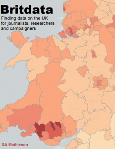 If I have a data journalism specialist subject, it is Britain. Writing about its public sector means finding out how to extract information on it through Freedom of Information, parliamentary written answers and open data on spending; knowing how to use official published data on Britain’s localities; and understanding the often-messy structure of local public services including councils, police, fire and NHS organisations.